Presented By: University Library
Early Modern Maps of Paris – a History of Measures and Representations

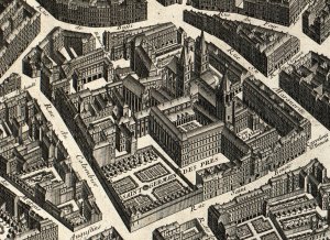
Start with a discussion and viewing of Paris maps and atlases, followed by a talk at 5:00 pm by Professor Jean Boutier. Drawing from his definitive work, Les plans de Paris des origines (1493) à la fin du XVIIIe siècle (2e éd. 2007), Boutier discusses cartographic history using selected maps or atlases drawn from the Clark Library collections. A reception will follow the talk.
Boutier is Directeur d’Etudes at the Ecole des Hautes Etudes en Sciences Sociales (Marseille) and visiting scholar in the U-M Department of History.
Boutier is Directeur d’Etudes at the Ecole des Hautes Etudes en Sciences Sociales (Marseille) and visiting scholar in the U-M Department of History.
Explore Similar Events
-
Loading Similar Events...
