Presented By: William L. Clements Library
Maps as Text, Subtext, and Hypertext: “Bending Lines,” a digital exhibition on persuasive maps
A behind-the-scenes tour from the Leventhal Map & Education Center

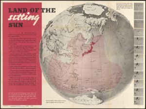
Join historical geographer Garrett Dash Nelson from the Norman B. Leventhal Map & Education Center at the Boston Public Library for a discussion about representation, reality, and the visualization of geographic information in the new exhibition "Bending Lines: Maps and Data from Distortion to Deception." Dr. Nelson will discuss not only the content of the exhibition itself but also the challenges and opportunities associated with creating digital exhibitions of historic printed material. Participants are encouraged to view the online exhibit in advance.
Dr. Nelson will be joined by Clements Library Curator of Graphic Materials Clayton Lewis, and Adjunct Assistant Curator of Maps Mary Pedley.
This event is co-sponsored by the University of Michigan William L. Clements Library and The American Historical Print Collectors Society.
Dr. Nelson will be joined by Clements Library Curator of Graphic Materials Clayton Lewis, and Adjunct Assistant Curator of Maps Mary Pedley.
This event is co-sponsored by the University of Michigan William L. Clements Library and The American Historical Print Collectors Society.
Explore Similar Events
-
Loading Similar Events...
