Presented By: University Library
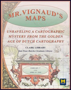
Mr. Vignaud's Maps: Unraveling a Cartographic Mystery from the Golden Age of Dutch Cartography

In 1922 the University of Michigan acquired the library of Henry Vignaud, an American diplomat living in Paris, whose extensive personal library included thousands of books, atlases, maps, and other publications. Many of Vignaud's maps were extracted from broken atlases, originally published by the illustrious Hondius and Janssonius publishing houses. Staff in the Clark Library sought to organize these fascinating maps based on their physical characteristics and similarities, with the ultimate goal of reassembling the original atlases.
This exhibit and the accompanying online exhibit (https://www.lib.umich.edu/online-exhibits/exhibits/show/rediscoveringvignaud) feature the results of their remarkable findings, as well as a glimpse into the history of the Golden Age of mapmaking in 17th century Amsterdam.
This exhibit and the accompanying online exhibit (https://www.lib.umich.edu/online-exhibits/exhibits/show/rediscoveringvignaud) feature the results of their remarkable findings, as well as a glimpse into the history of the Golden Age of mapmaking in 17th century Amsterdam.