Presented By: Eisenberg Institute for Historical Studies
EIHS Workshop: Exploring Topographies: Real and Imaginary

The word “topography” denotes both the configuration of natural and human-made features within a physical space, as well as the practice of graphically representing these features in order to show their relative positions. In a figurative sense, moreover, topography suggests the mapping of relations between ideas, emotions, genres, or other non-material entities. This interdisciplinary graduate student roundtable will explore the historical, artistic, and methodological valences of topography in both of these registers, manifest across a variety of media and geo-temporal settings: long nineteenth-century English novels, representations of Franco-Persian relations in the French Third Republic, interwar surrealist art, and middle-Republican Roman sanctuaries.
Panelists:
● Sarah Van Cleve, PhD Candidate, English Language and Literature, University of Michigan
● Keanu Heydari, PhD Student, History, University of Michigan
● Tanya Silverman, PhD Student, Slavic Languages and Literatures, University of Michigan
● William Soergel, PhD Candidate, Interdepartmental Program in Greek and Roman History, University of Michigan
● Valerie Kivelson (chair), Thomas N. Tentler Collegiate Professor; Arthur F. Thurnau Professor of History, University of Michigan
Free and open to the public. This is a remote event and will take place online via Zoom. Registration information forthcoming.
This event is part of the Friday Series of the Eisenberg Institute for Historical Studies. It is made possible by a generous contribution from Kenneth and Frances Aftel Eisenberg.
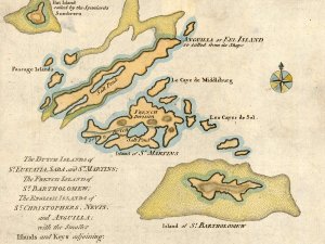
Image: The Dutch islands of St. Eustatia, Saba, and St. Martins; the French island of St. Bartholomew; the English islands of St. Christophers, Nevis, and Anguilla; with the smaller islands and keys adjoining, 1871; crop; Clements Historical Library.